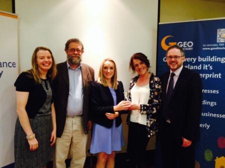
Ms Catherine Mc Laughlin, Planning and Research Officer, SPACEial NW Team, Mr. Bruce McCormack, President of Ireland’s IRLOGI, Ms Rosita Mahony, GIS and Research Officer, SPACEial NW Team, Ms Loretta Mc Nicholas, Project Manager, SPACEial NW Team, Mr. Dara Keogh, CEO of GeoDirectory.
The Irish Organisation for Geographic Information (IRLOGI) has awarded the SPACEial NW website www.spaceialnw.eu the runners up prize in the ‘Best GI Application in the Public Sector’.
This site was developed by the Research and Policy Unit of Donegal County Council and is devoted to providing useful geographical information through a series of ‘Maps, Stats and Apps’.
Speaking about the website, Loretta McNicholas, Manager of the Research and Policy Unit explained that “this site allows state agencies, local authorities, planners, entrepreneurs, tourists, members of the public etc to view, analyse and extract relevant information for different locations throughout Donegal and entire North West region”.
She added that “the SPACEial NW site helps you make all types of decisions like where to start a business, where to visit in the county, where to target services, where to invest in infrastructure, where new schools are required and so on”.
Speaking about the awards, Rosita Mahony, GIS and Research Coordinator for the project outlined how the IRLOGI awards recognise and reward innovation, dedication and hard work in using GIS technology and the SPACEial NW App was deemed to be successful in addressing all of these criteria. In addition, awarding judges noted how the SPACEial NW has brought geographical data to a wider audience base throughout the region.
Loretta Mc Nicholas thanked the whole project team -Rosita Mahony, Catherine Mc Laughlin, Mary Mc Bride and Marie Kerr - for their hard work and efforts in delivering this project, she added “it was not just about meeting tight deadlines and targets, it was about delivering an application that we truly believed would better inform service delivery within the county and region for many years to come”. She also thanked the SPACEial NW Steering Committee, Enhance.ie, ESRI Ireland and the IS Section of Donegal County Council.
The SPACEial NW site is currently managed by the Research and Policy Unit, Donegal County Council. The project was funded through INTERREG IVA, promoted through the North West Region Cross Border Group and developed in partnership between Donegal County Council (lead implementing council), Strabane District Council, Derry City Council, Magherafelt District Council, Limavady Borough Council.
END
Note:
The Irish Organisation for Geographic Information (IRLOGI) is the umbrella organisation for the geographical information industry in Ireland and is a member of EUROGI – the European umbrella organisation for geographical information. Its mission is to stimulate the development and effective use of Geographic Information in Ireland. IRLOGI conduct the annual Space & Place Awards, which are open to all organisations and individuals who have worked in the area or on projects that have Geographic Information.
Select an option below